
Jaipur, August 12 (Kiran News). Winds from Pakistan have stripped moisture from the air in Rajasthan, causing rainfall activity to come to a halt across the state. The slowdown is expected to continue for the next three days, leading to fluctuations in temperatures in various districts.
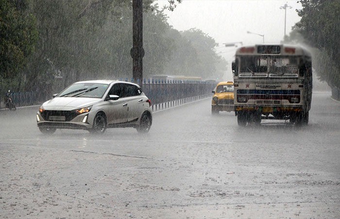

Director of the Jaipur Meteorological Centre, Radheshyam Sharma, said that most parts of the state are witnessing reduced rainfall activity due to the influence of westerly winds. Currently, the monsoon trough line is passing through Amritsar and Chandigarh, positioned north of its normal path. This pattern is likely to persist for the next 3–4 days, keeping rainfall subdued across most regions of the state.
From August 14 onwards, easterly winds from the Bay of Bengal are expected to become active. As a result, rainfall activity is likely to increase in eastern Rajasthan from August 15 and in parts of western Rajasthan from August 16. Heavy rainfall is expected in some areas of Kota division on August 15, and in Kota and Udaipur divisions on August 16. On Monday, the highest rainfall in the state was recorded in Malakheda (Alwar) at 40 mm.
Sri Ganganagar recorded the highest temperature in the state at a maximum of 36.9°C and a minimum of 30°C. In Jaipur, scattered clouds alternated with sunshine, accompanied by moderate winds. The sunny spells caused a slight rise in temperature, with the maximum recorded at 35.2°C and the minimum at 27.2°C.
Bhupendra Singh Chundawat is a seasoned technology journalist with over 22 years of experience in the media industry. He specializes in covering the global technology landscape, with a deep focus on manufacturing trends and the geopolitical impact on tech companies. Currently serving as the Editor at Udaipur Kiran, his insights are shaped by decades of hands-on reporting and editorial leadership in the fast-evolving world of technology.