
Government Marks 28 Locations in Ladakh on Official Maps
The Indian government has officially marked 28 locations in Ladakh on maps, enhancing geographical awareness and standardization.

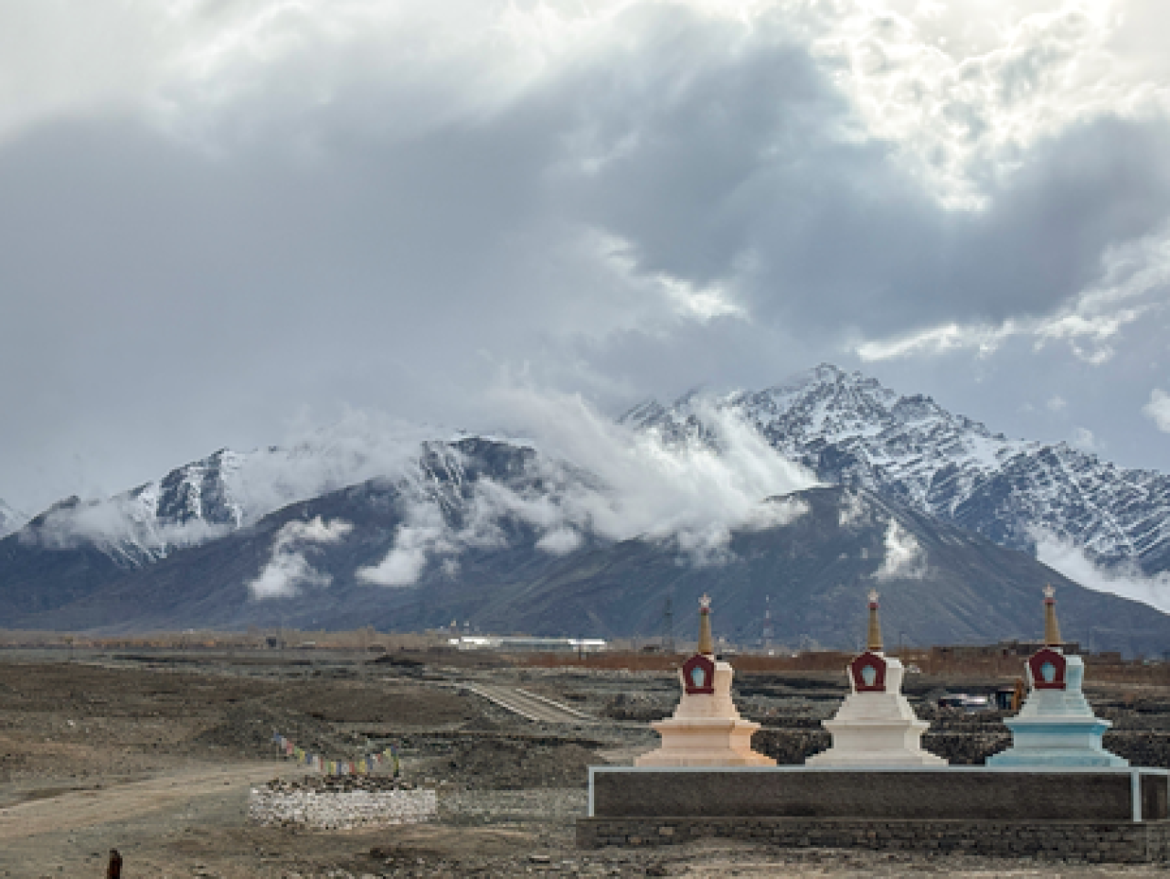
Ladakh, October 2 (Udaipur Kiran) : The Indian government has officially designated 28 locations and geographical features in Ladakh, marking them on the maps of the Survey of India. This initiative, announced by the Ministry of Home Affairs, aims to improve the identification and awareness of these sites among the public.
The identification of these locations was carried out in consultation with the Ladakh Union Territory administration. The Ministry stated that the formal marking is intended to facilitate accurate recognition and foster better awareness among citizens.
The 28 sites include peaks, mountain ranges, passes, glaciers, valleys, rivers, lakes, and other geographical features. Notable entries on the map include Atisha Giri (peak), Brangsa (land area), Chapchingal Pass (pass), and Kanishk Peak (peak), among others.
Additionally, the list features Drak Karpo (mountain), Gogra (land area), and Yangpa River (river), highlighting the diverse geographical landscape of the region. The Survey of India, under the Department of Science and Technology, serves as the nation’s primary mapping agency, tasked with ensuring comprehensive mapping for rapid and integrated development.

My name is Kuldeep Singh Chundawat. I am an experienced content writer with several years of expertise in the field. Currently, I contribute to Daily Kiran, creating engaging and informative content across a variety of categories including technology, health, travel, education, and automobiles. My goal is to deliver accurate, insightful, and captivating information through my words to help readers stay informed and empowered.